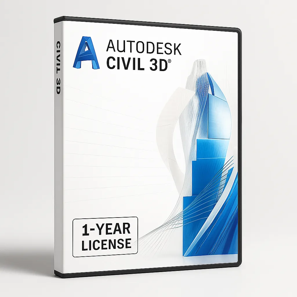
AUTODESK CIVIL 3D I Windows & MAC I 1 Year Subscription
🏗️ End-to-end civil engineering design for land, road, and utility projects
💻 Works on Windows & macOS (virtualization) – Autodesk-supported
🔄 Dynamic modeling, automated documentation, corridor tools
📅 1-year subscription with updates and cloud collaboration
📩 Instant activation via email + full Autodesk support included
€199.00 Original price was: €199.00.€89.00Current price is: €89.00.
Related Products
Design Smarter, Build Better with Autodesk Civil 3D
Autodesk Civil 3D is the industry-standard software for civil engineering design, documentation, and construction workflows. Built for infrastructure professionals, Civil 3D provides a dynamic, model-based environment that supports intelligent design, automated documentation, and streamlined collaboration across teams.
Whether you’re working on roads, highways, land development, rail, or storm and sanitary networks, Civil 3D empowers engineers to design with precision, manage change effectively, and produce construction-ready documentation – all in one powerful, integrated platform.
This 1-year subscription includes the full version for both Windows and macOS (via virtualization), along with all official Autodesk updates, cloud features, and technical support.
🚧 Why Choose Civil 3D?
1. Intelligent Model-Based Design
Civil 3D’s model-based design enables dynamic updates across the entire project. Modify a road alignment or pipe network and see all related components – profiles, cross-sections, surfaces – update automatically. This interconnected design approach significantly reduces rework and manual errors.
2. Corridor Modeling & Surface Design
Civil 3D allows the creation of intelligent corridors, assemblies, and cross-sections that reflect real-world road designs. Engineers can model terrain, site grading, and complex surfaces using precision tools and automated grading objects.
3. Stormwater & Sanitary Analysis
Integrated analysis tools allow you to design and simulate storm and sanitary sewer systems. Hydrology and hydraulic tools let engineers model system performance and ensure regulatory compliance, all within the design environment.
4. Automated Documentation
Generate construction-ready plans, profiles, quantity takeoffs, and section sheets with built-in tools that maintain consistency across all sheets. Civil 3D ensures your documentation is always synced to your model – no manual rework required.
5. Collaboration & Data Sharing
With BIM 360 and Autodesk Docs integration, Civil 3D users can collaborate in real time, share models securely, and control version history. Use shared data references (DREFs) to coordinate across disciplines and projects without overwriting source files.
💻 System Compatibility & Deployment
✅ Native Windows support
✅ Compatible with macOS via virtualization (Parallels/BootCamp)
✅ Subscription includes cloud access, support, and version upgrades
✅ 1-year license linked to your Autodesk account
👷♂️ Who Uses Civil 3D?
Civil engineers working on roads, highways, and bridges
Surveyors and site planners managing land development
Drainage engineers designing storm and sanitary networks
Government agencies and consultants overseeing large infrastructure
Construction professionals producing site-ready deliverables
📦 Included with Your 1-Year Subscription
Access to Autodesk Civil 3D full suite and all features
12 months of updates, support, and cloud tools
Secure email delivery of activation credentials
Full compatibility with other Autodesk AEC Collection tools
🛠️ Key Technical Capabilities
Surface modeling and terrain analysis
Pipe networks and pressure systems
Corridor and intersection modeling
Quantity takeoff and cost estimation
Integration with InfraWorks, ReCap, Navisworks

